The Petroglyphs of Chichictara, Peru – Documentation and Interpretation
von Fux, Peter
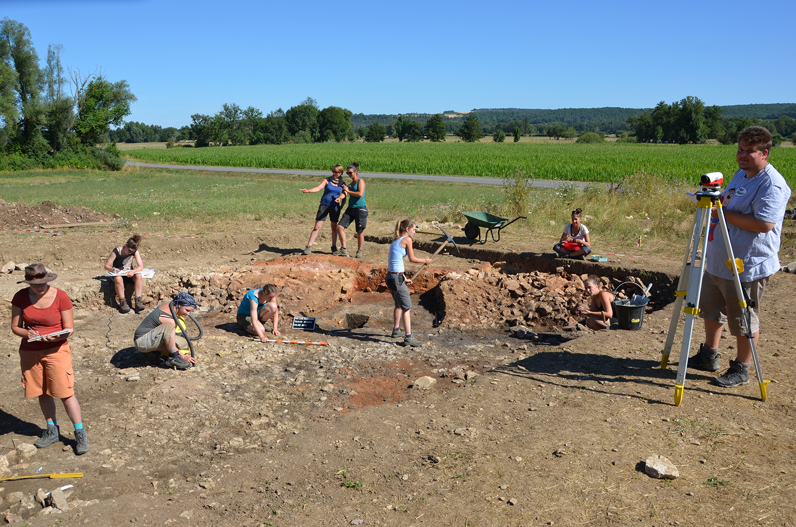
Abstract: The Nasca-Palpa region in southern Peru is well known because of its large-scale anthropomorphic, zoomorphic and geometric geoglyphs, the «Nasca lines». Between 1996 and 2005 two archaeological Projects from the SLSA (Swiss-Liechtenstein Foundation for Archaeological Research Abroad), «Nasca in Palpa» and «Paracas in Palpa», were realized. The investigation of the prehistory of the Palpa region has covered a long time span from the Initial Period (1800 to 800 BC) to the Late Horizon (1400 to 1532 AD). During ten years of scientific work almost 800 archaeological sites could be registered and many excavations have revealed settlements, cemeteries and ritual sites from the whole above mentioned time span. Thanks to these activities, the prehistory of the Palpa region is now well known. The geoglyphs have been documented, dated and analyzed and their erstwhile social function is now intelligible. Along geoglyphs there are many other archaeological remains with a highly symbolic characteristics and a rich iconography in southern Peru: For example Nasca- and Paracas-ceramics are colored painted and show among others mythical beings. But Geoglyphs are not the only prehistoric artificial intervention into natural environment: many petroglyphs have also been found in the Nasca-Palpa region. They have never been analyzed seriously by an archaeologist so far. Thus, it's time to do this.
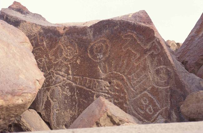
Chichictara is the largest site with petroglyphs in the Nasca-Palpa region. Approximately 150 sculptured rocks are covered with anthropomorphic, zoomorphic and geometric figures. The rocks are mostly located on the ground of a small dry dell in the lower Palpa-valley and its rocky slopes. On the basis of iconographic analogy these petroglyphs could be roughly dated into the Initial Period (1800 to 800 BC) and the Paracas Period (800 to 200 BC). But the dating has to be examined carefully. Then, I will address the question which meaning the site of Chichictara and each particular image bore for its formers.
An adequate interpretation of the Chichictara petroglyphs can only be undertaken on the basis of a profound knowledge and documentation of their topographical and archaeological environment. During fieldwork conducted in September and October 2006, a digital terrain model (DTM) of the valley of Chichictara was generated in cooperation with the HafenCity University Hamburg based on data acquired by a terrestrial laser scanner. Additionally, the sculptured rocks were documented in cooperation with the ETH Zurich in high resolution using photogrammetric images acquired with a digital camera. From these images, stand-alone textured 3D models were generated and then integrated into the DTM modeled from the laser scan point cloud of the valley. After the integration of these two data sets, the combined 3D model of the site was then integrated into a larger DTM covering the Palpa valley and its surroundings, which was derived from ASTER satellite imagery. The 3D model will be integrated into a GIS database containing spatial and archaeological data from the Palpa region. Ten years of excavation and survey have resulted in a huge amount of data. To make the cultural evidence of the past accessible, these data have to be managed and analyzed, a task which will be conducted by means of a GIS database. The site Chichictara and the meaning of its petroglyphs will then be intelligible by a paradigmatic change: Not the petroglyphs themselves will tell the story, but the whole natural and cultural environment will be decisive and included to make these stones talking to us.